About
Programming and developing with more than five years of well-rounded experience. Have experience on Backend Software Development, Data Analytics and GIS. My graduate research focus on applying Machine Learning Models to improve Marine Trajectory Clustering and Anomaly Detection.
Software Developer & Data Scientist.
Looking for an opportunity to work and upgrade, as well as being involved in an organization that believes in gaining a competitive edge and giving back to the community.
- Birthday: 20 May 1994
- Website: xuyanghan.github.io
- Phone: +1 647 913 4069
- City: Toronto, Canada
- Age: 32
- Degree: Master
- Email: hanxuyang0826@gmail.com
- Freelance: Available
Skills
More than 5 years of development experience. Master of Software Development, GIS, and Data Science.
Resume
R&D software developer with experience across full-stack development, data engineering, indoor positioning, and geospatial systems.
Professional Experience
R&D Software Developer
Jun. 2021 – Mar. 2026
Mapsted Corp., Oakville, ON
Operations Tools Development – Team Lead
- Designed and implemented internal tools for deployment monitoring and troubleshooting, integrating backend services with data visualization to improve operational visibility
- Built data processing and analysis workflows to evaluate map data quality, calibration accuracy, and validation performance for indoor positioning systems
- Developed APIs and backend logic to support data ingestion, analysis, and reporting workflows used by operations teams
- Led a small team by defining technical scope, planning development timelines, and coordinating implementation, ensuring maintainable code and clear documentation
Analytics Tools Development
- Architected and developed RESTful APIs in .NET to serve analytics data (active users, heatmaps, traffic flows, user trajectories), enabling real-time data access for client-facing applications
- Designed and implemented end-to-end data pipelines for analytics data ingestion, processing, and storage, supporting scalable and reliable data delivery to backend services
- Defined data contracts and collaborated with frontend engineers to standardize API responses and support dynamic analytics widgets and visualizations
- Built an internal full-stack analytics tool using Python and Bokeh to replay user trajectories and sensor data, significantly improving troubleshooting efficiency for positioning systems
Asset Tracking Server Development
- Designed and implemented a high-performance backend service to ingest and process real-time MQTT messages from beacon devices, enabling continuous location tracking independent of client applications
- Built streaming data pipelines with caching and aggregation layers to handle high-frequency device data, improving data availability and reducing database load
- Developed data processing and storage workflows to support downstream analytics systems, ensuring reliable and efficient data retrieval for analytics APIs
- Collaborated with frontend and analytics teams to define data interfaces and support integration with visualization tools for asset tracking and monitoring
Observability & DevOps Support
- Contributed to CI/CD pipeline integration using GitLab, improving build, testing, and deployment workflows
- Developed business-level metrics (e.g., user activity, session trends, data processing volume) to track system usage patterns and identify anomalies in data pipelines
- Prototyped system monitoring and observability solutions using infrastructure metrics (CPU, memory, system health) and ELK stack logging to improve visibility into application performance, reliability, and incident diagnosis
Map Content Management System (CMS) Development
- Developed and maintained .NET-based RESTful APIs for a Map Content Management System (CMS), supporting map data validation, storage, and publishing workflows
- Extended backend services and database logic to support evolving map digitization features, including updates to data validation rules and processing pipelines
- Collaborated with mapping teams to troubleshoot and resolve data inconsistencies, performing backend and database-level investigations to ensure data accuracy across versions
Map Digitization Server Development
- Designed and developed backend integration between a .NET server and a FastAPI-based service to trigger external map digitization algorithms via APIs
- Supported an experimental workflow for converting floor plan images (PDF/PNG) into structured map data, enabling researchers to iterate on AI/vision-based digitization approaches
- Implemented data flow and API orchestration layers to connect backend services with external Python-based processing pipelines, facilitating system-level experimentation and validation
Indoor Routing System Development
- Maintained and debugged an indoor routing system based on a customized A* pathfinding algorithm, supporting route generation across multi-building environments with constraints such as restricted areas and route prioritization
- Investigated routing inaccuracies and user-reported issues, identifying algorithmic and data-level edge cases and implementing targeted fixes and improvements
- Contributed to iterative enhancements of routing logic prior to system redesign, ensuring short-term reliability and usability
Graduate Research Assistant
Aug. 2018 – Jun. 2021
York University, Toronto, ON
Marine Transportation Modeling by Clustering AIS Data
- Designed and implemented a data processing pipeline for large-scale AIS (Automatic Identification System) datasets to analyze vessel movement patterns and detect behavioral anomalies
- Extended and refined a DBSCAN-based clustering approach by tuning density parameters and incorporating additional spatial-temporal features to improve clustering stability and outlier detection performance
- Applied geospatial and statistical techniques to transform raw AIS signals into structured behavioral profiles for maritime traffic analysis and modeling
Crowd-Sourced Bathymetry in the Northern Canada Areas
- Developed a full-stack geospatial data platform enabling secure crowd-sourced submission, management, and validation of bathymetric datasets from multiple contributors
- Designed and implemented a web-based geospatial portal with interactive visualization tools for exploring underwater terrain data and supporting spatial analysis workflows
- Built backend services to support data ingestion, storage, and retrieval for collaborative geospatial mapping and visualization
Education
Master of Science, Geomatics Engineering
Aug. 2018 – Jun. 2021
York University, Toronto, ON
- Research Assistant (RA): Geospatial systems, data processing, and applied research
- Teaching Assistant (TA): Delivered lectures, led lab sessions, graded assignments, and provided tutoring for undergraduate students.
Bachelor of Science, Environmental Engineering
Aug. 2014 – Dec. 2017
The Ohio State University, Columbus, OH
Graduated with Honors Research Distinction by research thesis: Using Refined Least Square Image Matching to Improve 3D Reconstruction under Gaussian Blur and Motion Blur images
Portfolio

Toronto Healthcare Query System
Esri Canada 2020 App Challenge. The App digitalizes Toronto Healthcare resources, and help the patients find the optimal healthcare nearby.

GIS and Advanced Spatial Analysis Project
Generate Residential Solar Panel Recommendation Map for City of Airdrie.

Carpooling Sharing Platform
Esri App Challenge 2019. Sustainability project, Build by ArcGIS API for JavaScripts.

CrimeSolutions Platform
Crowd-sourced crime reporting Platform. Full Stack Development using Django Framework.

Crowd-sourced Bathymetry (CSB)
Web Portal and Visual Analysis Dashboard for Crowd-sourced Bathymetry Platform in North Canada Area.

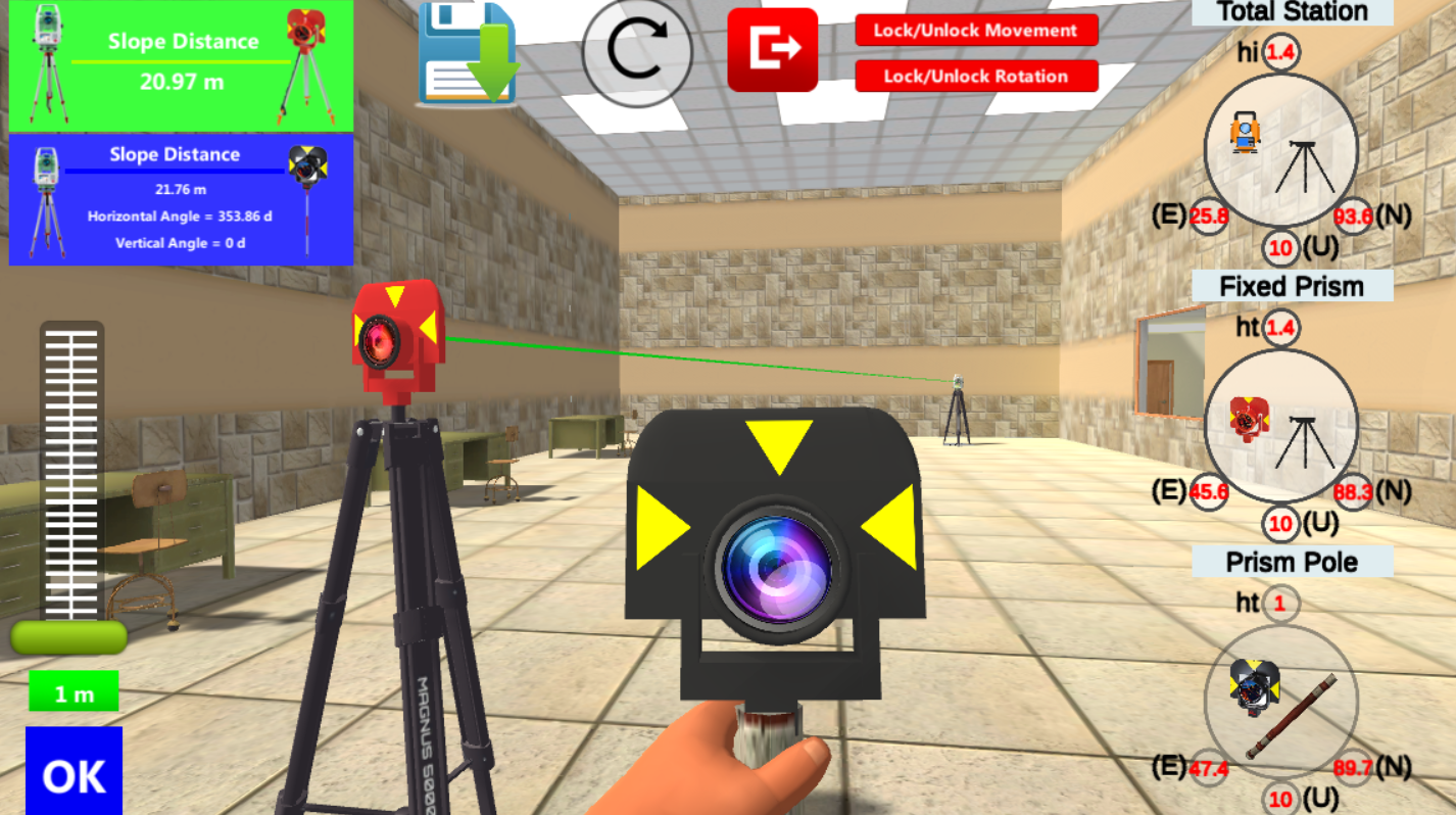
GEOVA SURVEY GAME (In Progress)
GEOVA SURVEY GAME - Gain your surveying skills in the virtual world.
Certificates
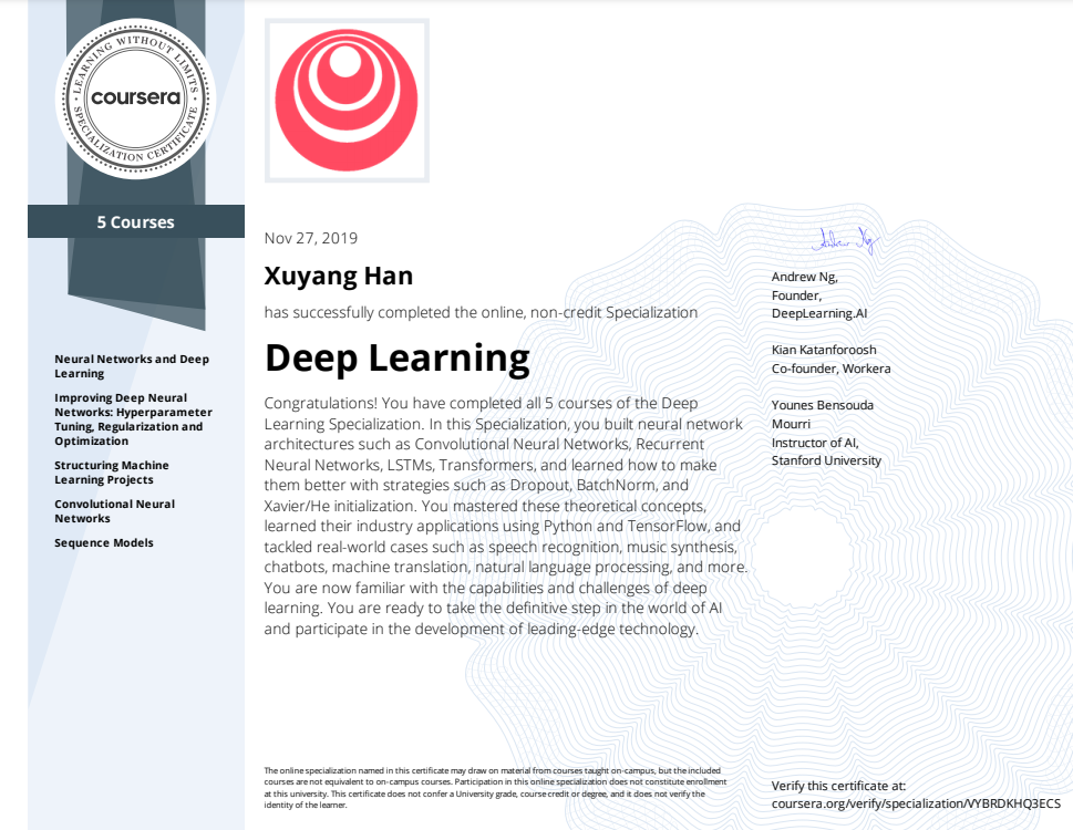
Deep Learning
- Neural Networks and Deep Learning
- Improving Deep Neural Networks: Hyperparameter Tuning, Regularization and Optimization
- Structuring Machine Learning Projects
- Convolutional Neural Networks
- Sequence Models
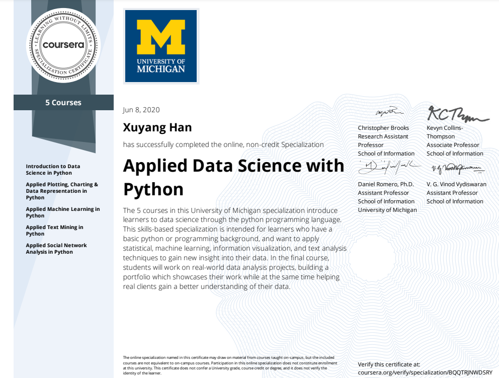
Applied Data Science with Python
- Introduction to Data Science in Python
- Applied Plotting, Charting & Data Representation in Python
- Applied Machine Learning in Python
- Applied Text Mining in Python
- Applied Social Network Analysis in Python
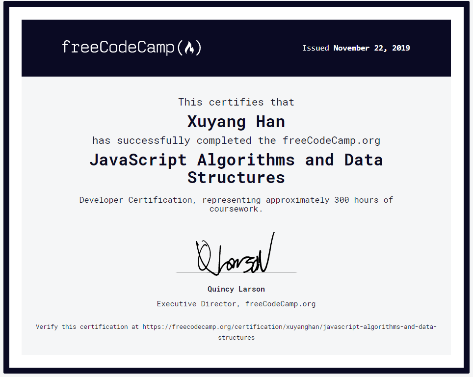
JavaScript Algorithms and Data Structures
This certifies that Xuyang Han has successfully completed the freeCodeCamp.org JavaScript Algorithms and Data Structures Developer Certification, representing approximately 300 hours of coursework.
See the certificate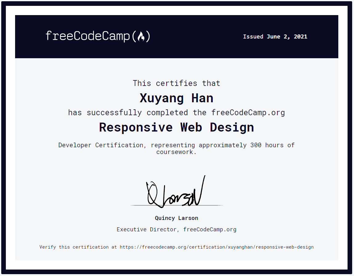
Responsive Web Design
This certifies that Xuyang Han has successfully completed the freeCodeCamp.org Responsive Web Design Developer Certification, representing approximately 300 hours of coursework.
See the certificate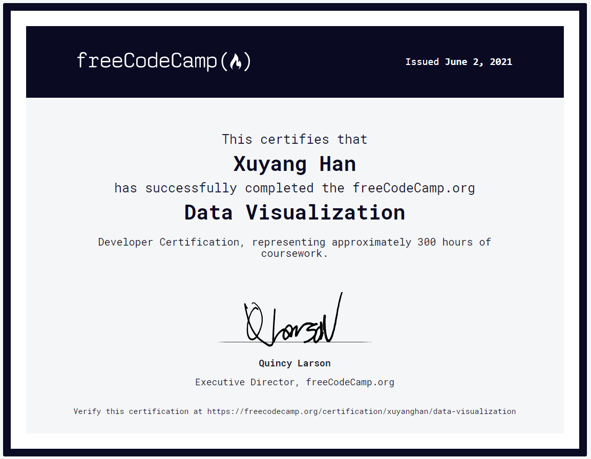
Data Visualization
This certifies that Xuyang Han has successfully completed the freeCodeCamp.org Data Visualization Developer Certification, representing approximately 300 hours of coursework.
See the certificate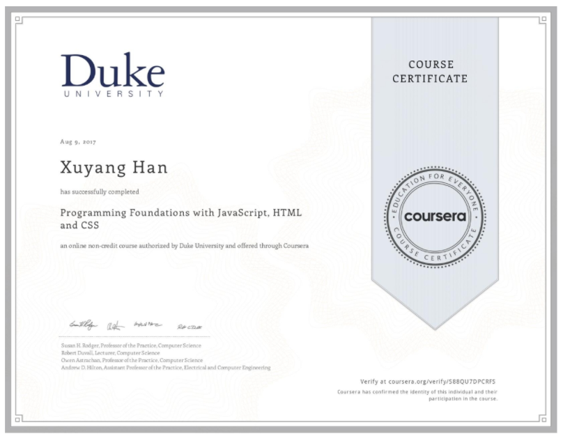
Programming Foundations with JavaScript, HTML and CSS
This certifies that Xuyang Han has successfully completed the Coursera.org Programming Foundations with JavaScript, HTML and CSS Certification, representing 4 weeks of study, 3-7 hours/week.
See the certificateNews
-
Special Issue for Sustainability Journal Paper Published: Modeling Vessel Behaviors by Clustering AIS Data Using Optimized DBSCAN Click to See More Details
-
Winner of 2021 Esri Canada GIS Scholarship. Click to See More Details
-
Winner of 2021 BeSpatial Student Bursary. Click to See More Details
-
Presentation at CIDCO Colloquium 2021. Click to See More Details
-
Passed Thesis Defence Click to See More Details
-
Presentation and Conference Paper Published in ISPRS Conference at Nice, France 2020. Click to See More Details
-
Won First Runner-up at Esri ECCE App Challenge 2020. Click to See More Details
-
Won First Prize at the Association of Ontario Land Surveyors (AOLS) poster competition during the AOLS Annual General Meeting 2019. Click to See More Details
Testimonials

Costas Armenakis
PROFESSOR, GEOMATICS ENGINEERING
Congratulations from all your research lab colleagues for successfully completing your Master's program. It has been a great pleasure working with you. All the very best on your future endeavours.
Mojgan Jadidi
Assistant Professor, Teaching Stream, PEng
Xuyang Han is successfully defended his master thesis and showcase his great contribution on marine trajectory clustering application using Enhanced DBSCAN using AIS data, a new direction to auto vessels development; and being officially my first graduated gradstudent at York University - Lassonde School of Engineering!
Gunho Sohn
Associate Professor, LEL
I had a chance to teach him through one of the graduate courses in Advanced GIS. Xuyang is a bright and self-motivated student with strong programming and geomatics skillsets. He has also very good communication skills.
Contact
Location:
200 Matheson Blvd W Suite 200, Mississauga, ON L5R 3L7
Email:
hanxuyang0826@gmail.com
Call:
+1 647 913 4069